Summits: Table Mountain (2,675'), Big Attitash Mountain (2,936')
Trail route: Attitash Trail, Moat Mountain Trail
Trail conditions: Dry with some wet sections, some mud, low water crossings
Weather: Cool start and cloudy with a cooler wind along the ridge and warm sunny finish
Total miles: 9.6
Total time: 6:42
I was taking a break from the 4,000 footers today and looking for a hike to new territory. So I would be joining Larry and Jill for a hike across the Attitash Trail and over Table and Big Attitash Mountains. This trail gets very little use and it's very unlikely that we would see any other hikers past Table Mountain. We were also unsure of what kind of trail conditions we would encounter along the way.
We would be starting our hike from the Bear Notch Road and continuing on the Moat Mountain Trail at 7.2 miles then another 2.4 miles to West Side Road at Diana's Baths parking lot. The other issue we had to take into consideration was the parking. Both lots can fill up fast so we got an early start. Did a car spot at Diana's Baths then Larry and Jill met me at the Attitash trailhead on Bear Notch Road.
There was one other vehicle in the lot when I arrived. Larry and Jill arrived shortly after I got there. We were on the trail at 7:00 AM. On our way up to Table Mountain we saw one hiker and that would be the only one until we got to the Moat Mountain Trail. There were nice views from the open ledges on Table Mountain. We had all been here before since this is on the 52 With a View list but none of us had been past this summit so we were now venturing into the unknown.
There was a steep drop from this mountain then a steady climb up to Big Attitash Mountain. Just before this next summit there was a very wet boggy section that we had to bushwhack around. Back on the trail again we passed through a beautiful forest and the trail was nice too, devoid of roots and rocks. There are no outlooks or views up here. We stayed long enough for something to eat then continued on.
It's a very steep, long descent from the summit and seems to go on and on. At the bottom of this descent the trail crosses the Lucy Brook several times. The water was very low so there was no problem with wet feet. We saw our first hikers at the end of this trail when we reached the Moat Mountain Trail junction. There were many people on Lucy Brook and at Diana's Baths. More people were coming in as we got closer to the parking lot with vehicles parked along the road waiting for an available parking space.
For a trail that gets very little use it was surprisingly beaten down and easy to follow except for two spots. One was the watery bog and another was one spot along Lucy Brook. It didn't take long for us to find our way. The blazes looked recently fresh.
Always nice to explore new trails and summits but tomorrow starts a new month with more 4,000 footers to hike. The plan is to grid out August!
Enjoy the photos!
Hike starts here at Bear Notch Road
Indian pipe
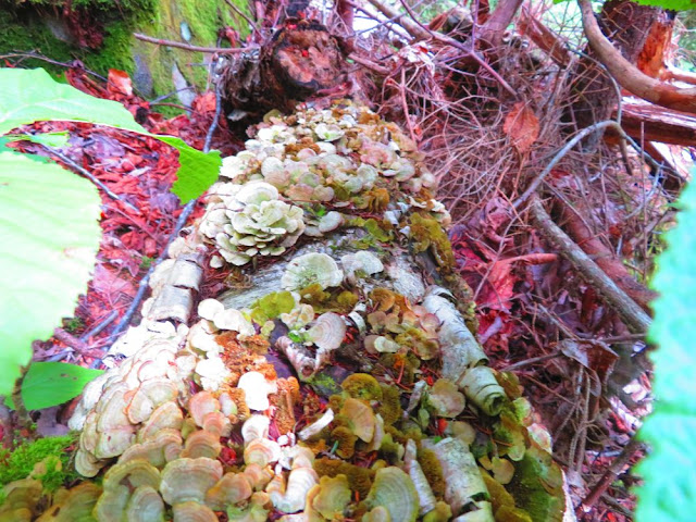
LOTS of mushrooms along the trail
Puzzle rock
Ascending one of the ledges on Table Mountain
View from a ledge on Table Mountain
Lone mushroom
Another open ledge up ahead
Some Sisters and Mount Chocorua
Distant view
The Moats
Large mushy 'shroom
A nice walk through the woods
Crossing a wet and muddy spot
Hobblebush leaves turning
Mushroom tree
Large mushroom on a tree stump
Trio of mushrooms
A beautiful forest
Blue bead lily
A blaze on the ridge
Did a bushwhack around this bog
Jill and Larry emerging from the bushwhack
Three large mushrooms hanging out
Big Attitash summit
Larry coming down the steep descent from the summit
Log full of mushrooms
Purple 'shroom
Fly agaric
Toad hiding in plain sight
Jill is searching for the trail
Easy water crossing
Leopard slug
Turbinellus kauffmanii
Leaving the Attitash Trail and continuing on the Moat Mountain Trail
Waterfalls on Lucy Brook
Last water/rock crossing near the end of the hike
Having Fun in the Great Outdoors!


No comments:
Post a Comment