Summit: Mount Garfield (4,500')
Trail route: Gale River Loop Road, Garfield Trail, Garfield Ridge Trail
Trail conditions: Thin snow cover to start with a variety of conditions including water, mud, ice and frozen snow
Weather: Cold and cloudy, very cold and windy on the summit
Total miles: 12.4
Total time: 6:40
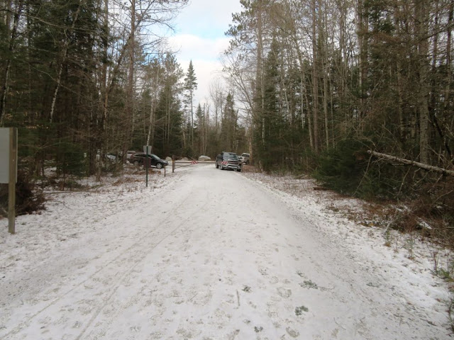
A storm last Thursday into Friday brought a lot of rain to the White Mountains. It was going to be interesting to see what the rain did to trail conditions. A hike to Mount Garfield would be a good check of the trail conditions as this is not a difficult trail and it has a moderate grade with the last short section to the summit steep and usually icy in the winter. The gate is now closed for the season and that adds a 1.2 mile road walk each way.
The road was frozen with a dusting of fresh snow. This thin layer of snow continued up the trail. At the first water crossing footprints veered off onto a herd path that leads to a snowmobile bridge. The water was really not that high and the herd path actually stopped short of the bridge and crossed at a narrower section of water. The microspikes went on just in case there were some icy rocks while crossing.
Further up the trail it turned very rocky and wet. The microspikes were taking a beating. It would not be practical to keep taking the microspikes off and putting them back on again so they would probably need to be sharpened after this hike. At the Garfield Ridge Trail and the final two tenths of a mile to the summit the trail was well packed with snow and some icy sections, just about what I was expecting. I've been up here when the trail was much more difficult.
The last exposed section to the summit was very cold and windy. It was not a day for lingering and basking so after a few photos it was time to head down. The descent wasn't too bad with the microspikes and it was soon back to rocks and flowing water on the trail. Took the normal trail across the water crossings without any problem and the feet stayed dry.
Back at the trailhead it was another 1.2 miles back to the parking lot. There were quite a few hikers on the trail today, most were wearing microspikes. I was wishing that I had brought my rock spikes which are my older microspikes. Until we get more snow I will be adding the rock spikes to my pack. It was nice leaving the snowshoes behind as they were not needed.
Today was a fun hike and not as tough as the past previous hikes I have done this month. It will be nice when we get a good dumping of snow in the mountains and the rocks, roots and ice get covered with a well packed, smooth trail that we all look forward to in the winter months!
Enjoy the photos!
Arriving at the trailhead after a 1.2 mile road walk
Heading up
Not sure what created this large round indentation
Ice formations hang over a brook
The microspikes easily handled this trail ice
Only two tenths of a mile to the summit from here
Snowy Garfield Ridge Trail
Summit up ahead
Summit trees are completely covered in ice
View from the summit
Spruce in rime ice
Rime ice covered ledge
View starting to open up but that was as good as it got
There was lots of flowing water on the trail
More ice formations
Back at the trailhead with a 1.2 mile road walk to the parking lot
South Branch Gale River
Back at the parking lot after 12.4 miles in 6 hours and 40 minutes
Having Fun in the Great Outdoors!


No comments:
Post a Comment