


Summit: (4,071')
Trail route: Henry Lanum Loop Trail
Trail conditions: Dry with areas of grassy vegetation across the trail
Weather: Warm sunny with some fair weather clouds
Total miles: 6.3
Total time: 3:44
This would be my first hike in the Blue Ridge Mountains of Virginia and it's a 4,000 footer. It was a beautiful Fall day and I was looking forward to exploring some new terrain.
It was a nice drive to the trailhead with good signage all the way in on beautiful country roads. The Appalachian Trail crosses the road in a couple of places. The last portion of road is dirt and rough in a few spots with some deep potholes which would probably be a challenge for a low clearance vehicle.
There were two forest ranger trucks with utility trailers parked at the trailhead but no other vehicles. I assumed that meant I would be the only one on the trail. I would be doing the loop counter clockwise.
The trail was very flat and wide for about the first mile and then it was a gradual mild ascent. Being the first one on the trail today I broke through many spider webs across the trail, they seemed to be stronger and stickier than the ones I'm familiar with in New Hampshire.
I reached the trail junction and continued to the summit. Upon reaching the summit there is another trail junction with one trail going to the East Overlook and the other going to the West Overlook. I went East first. Upon reaching the overlook I was met with a cloud of flying insects unlike anything I have experienced before. I had to pass through this swarming horde to reach the east view but it was too unbearable to even take a photo. They were up my nose, in my eyes, ears and mouth when I tried breathing. I pulled my shirt up over my nose and mouth so I could breath. They had completely covered my arms and I brushed them off when I came out of the cloud of bugs. I managed to get a few pics away from the swarm and left this overlook. I never saw another swarm of bugs like that again for the rest of the hike.
I continued over to the West Overlook. I reached a sign on the trail that stated End Of Trail. This was apparently my turn around point. The views were up on an exposed ledge that I had to climb up. I was aware that there are poisonous snakes in this area so I rapped my poles on the ledge as I was making my way up to try and warn any potential residents that I was there. There were no snakes and no swarming insects on this outlook. The views were spectacular. I took a nice break before heading back down.
I began my descent back to the trail junction and down to the next trail junction and continued the counter-clockwise loop. The trail ascended slightly to Pompey Peak that has a viewless summit. On this part of the loop there was some up and down as I descended but not bad at all. It was a nice hike back to the trailhead.
This hike turned out to be exactly what I was looking for. It was an enjoyable walk in the woods with spectacular views of the Virginia Blue Ridge Mountains and countryside from the summit of Mount Pleasant, aptly named!
Enjoy the photos and video!

Appalachian Trail crosses the road on my way to the trailhead


The hike starts here

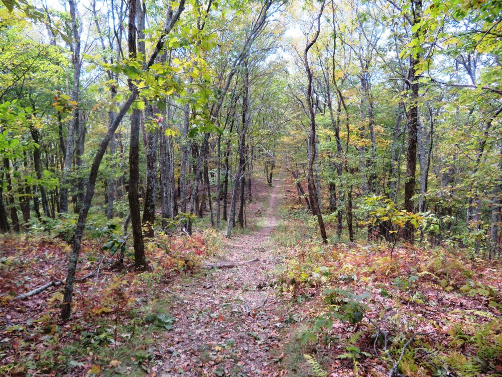
Beautiful forest and a wide trail to start
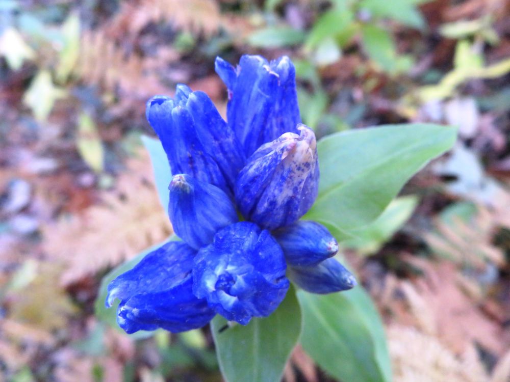
Wildflowers about to bloom

White snakeroot

A large boulder beside the trail

Burl beside the trail


On the summit of Mount Pleasant at the East Overlook

Interesting stump


Apparently the turn around point

View from West Overlook

Open area on a nearby mountaintop


Passing by some burls

A skinned tree trunk

Trailside burl

A forest of burls

Nice trail on the way out

Passing through this gate completes the loop and ends the hike

Appalachian Trail crosses another road on my drive out

The Appalachian Trail meandering south from here
Having Fun in the Great Outdoors!
No comments:
Post a Comment