Summit: Mount Carrigain (4,700')
Trail route: Sawyer River Road, Signal Ridge Trail
Trail conditions: Packed solid snow, ice, granular snow and mashed potatoes at lower elevations on the return trip
Weather: Cool temps, cloudy with partial sun and snow flurries
Total miles: 14
Total time: 8:15
I have two more hikes to grid out March with Mount Carrigain being one of them. The weather report and trail conditions looked favorable for this hike today. This hike is four miles longer this time of year due to the road being closed to the trailhead.
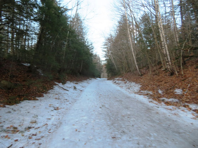
There were a few cars at the parking lot when I arrived. The two mile road walk to the trailhead had intermittent ice and dirt so the traction went on and off a couple of times. The trail started with a thin layer of ice then hard packed frozen snow and stayed that way to the summit with a few areas of loose snow over the hard pack. It was microspikes up and back. The water crossing on the rerouted trail was low and easy.
Then there was the long continuous ascent to Signal Ridge. The only good thing about that was the rocks and roots were completely covered. Up on the open ridge there were good views all around. The distant high summits were in the clouds. One final push to the summit and I continued on up to the top of the observation tower. Even with the high cloud cover there were great views.
It was a good trip down and this time took the old route that has three water crossings, none were a problem. The temperature had warmed up and there was some slogging through mashed potatoes. Back at the trailhead there was a hiker sitting on the guard rail that goes across the bridge over Whiteface Brook. It was friend and fellow hiker Larry. He had not been hiking for the last several months due to an injury last Fall and decided to do the two mile road walk today. He had just started hiking again and it was great to see Larry and hike out with him!
I was glad to get this long hike done today, both weather and trail conditions were better than I expected. I have one more very long hike to do this month, an out and back to the Bonds in order to grid out March. I'm hoping conditions will be favorable this week and I can get that Bonds hike done!
Enjoy the photos and video!
Moon setting on Wildcat Ridge during my drive to the hike
Icy Sawyer River Road with dirt up ahead
Whiteface Brook
Arriving at the trailhead after a two mile road walk
Bearing left on the Signal Ridge Trail
Dwindling monorail
The long monotonous steady ascent
View from the trail
Passing the ice bulge
Vose Spur down below from Signal Ridge
Summit observation tower is in sight
Signal Ridge from the summit
Summit view
Another summit view
And another summit view
Enormous remote ice field seen from the summit
Looking down Desolation Trail
Back on Signal Ridge
View from Signal Ridge
Chocorua
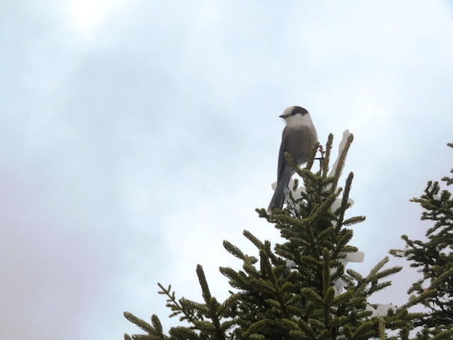
Gray jay posing
Bare trail
Water crossing
Another water crossing
One last water crossing
Looks like someone waiting for the hiker shuttle
It's Larry
The road walk out
Cascading water over a normally dry brook
At the end of the road walk and back at the parking lot after 14 miles
Having Fun in the Great Outdoors!


No comments:
Post a Comment