


Summits: Mount Jefferson (5,712')
Trail route: Jewel Trail, Gulfside Trail
Trail conditions: Coating of snow to start, frozen snow and ice at higher elevations with a lot of exposed rocks and ledges
Weather: Cold start, cold and breezy above treeline with lots of sunshine
Total miles: 9.8
Total time: 7:50
There was a window of opportunity in the weather above treeline with full sunshine and light winds. This would be hike #12 for me to grid out Mount Jefferson meaning hiking this summit in every month of the year. I would be joining Rick and Lisa for this hike.
I arrived at the parking lot at about the same time as Rick and Lisa. The temperature was 10°F to start but no wind. We headed up the cog railway access road in order to cross the bridge over the Ammonoosuc River. The water crossing itself is usually a sketchy, icy ordeal this time of year and I have gotten wet on previous hikes. We crossed the tracks and bushwhacked up to the Jewel Trail.
There was a light coating of snow with mostly insignificant ice on the trail so we bare booted up to treeline. It was here that we decided to put on the microspikes. We all had brand new Hillsound microspikes that had never been worn before now. There was not a lot of snow cover so we had to do some rock hopping and it only got worse when we got up to the Gulfside Trail. Our new microspikes were screaming at us.
On a steep bare ledge just past the Sphinx Trail junction we decided the microspikes had been broke in and punished enough so we took them off and bare booted the rest of the way to the summit. It was mostly bare rock with some intermittent frozen snow and ice that was easy to avoid.
Up on the summit there was a stiff breeze with a bite. This made twelve times that I have been to the top of Mount Jefferson, one time in every month of the year. We took a few photos then dropped down below the summit out of the wind. We put our microspikes on before descending, I brought my rock spikes and put them on to keep the new spikes from wearing down on the many rocks and ledges we would be crossing over.
As we made our way down we met several familiar faces along the way. The worst part of the hike for me was just ahead, it's the relentless climb up beside Mount Clay and back to the Jewel Trail. This time was no different and it was a slow grind to the trail junction. It was all downhill from here except for a short climb up before turning off onto the bushwhack back to the cog access road.
It was nice to reach Marshfield Station at the bottom and this hike was done. I was sure glad to have the company of Rick and Lisa since this can be a long, lonely hike doing it solo. Another summit gridded out this month with two more to go to grid out December!
Enjoy the photos and video!

A look back at the icy bridge over the Ammonoosuc River we just crossed to start the hike

Heading up the Cog road to bushwhack over to the Jewel Trail

Above treeline

Mount Monroe

Marshfield Station far below where we started

On the Gulfside Trail

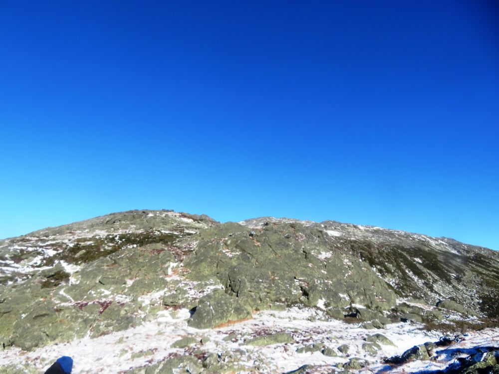
Mount Jefferson way up there

The microspikes were removed here

A look back at Mount Clay and Mount Washington in the distance

Monticello Lawn

Mount Jefferson summit pin

Mount Jefferson for #12...gridded out!

Mount Washington past the Great Gulf

Mount Adams

Ready to descend Jefferson

Cloud bank approaching the White Mountains

A look back at Jefferson

A boney descent


Another rocky boneyard

A look down into the Great Gulf

Frosty trees

Back at the Jewel Trail

Easy water crossing on a snowy bridge

Icy brook

More ice

Log bridge

Emerging from the bushwhack

Pushing through a briar patch to reach the cog access road

Back across the icy bridge at Marshfield Station

Mount Jefferson from Marshfield Station

Mount Jefferson from Valley Road on the drive home
Having Fun in the Great Outdoors!
No comments:
Post a Comment