


Summit: Mount Hale (4,054')
Trail route: Zealand Road, Hale Brook Trail
Trail conditions: Zealand Road was semi-packed, Hale Brook Trail was broke out but had a couple inches of overnight snow
Weather: Cold temps with wind at the summit, cloudy to partial sunshine
Total miles: 9.8
Total time: 5:30
A new month and a good day to start those needed March summits. I would be joining Jill, Scott and Lisa for this hike. Jill and I would both be gridding out this summit today meaning we have hiked this summit in every month of the year. For being such a short hike this summit always seems to give me problems, either too hot or too cold. Today would be no different.
We started our hike in cold temps but not frigid and the wind was not blowing. It was a short walk down the snowmobile trail and onto the Zealand Road. The snow was packed but slightly loose on top. It was a two and a half mile road walk to reach the trailhead. We started up the Hale Brook Trail on a fresh coating of powder. As we got closer to the summit there was a lot of snow and the tree limbs were hanging heavy with snow.
We arrived at the summit with a blowing wind and temperature in the lower teens, it felt very cold. I put on my down jacket. In the process of getting a few photos my fingers started turning numb. I was trying to disconnect a dry set of gloves but was unable to do it and went to another set of gloves that I quickly put into my mittens with the hand warmers. We did not stay long on the summit and quickly moved down out of the wind.
After dropping down off the summit we stopped for a bite to eat before continuing our descent. About a mile down the trail we broke out the butt sleds. There were some good fast runs that brought us down close to the end of the trail. Between the cold and a few rough spots on the trail my sled became brittle and broke underneath me. That was the end of my butt sledding for the day. It was Scott's sled so I'll bring him one of mine to replace it the next time we hike.
Back at the trailhead I shook the snow off of me before starting the road walk back. I bare booted back out on the Zealand Road. We kept dodging snowmobiles on the way back out. They are not allowed on the Zealand Road other than one section where the snowmobile trail crosses the road. We had to keep walking off the trail into deep snow in order to let them pass. The road is clearly marked with a "No Snomobile" sign but they clearly were not heeding that sign. Not sure why they would ride down this road as it is a dead end for snowmobiles. It is the first time that I have seen snowmobiles on this road and I have been here several times in the winter.
Always nice to see the bridge over the Ammonoosuc River after a hike, it's at the end of Zealand Road and a short walk to the parking lot. We continued to dodge snowmobiles after crossing the bridge but this section is actually the snowmobile trail.
So another summit gridded out, a great way to start March and one hike closer to completing the entire grid!
Enjoy the photos and video!

Walking the snowmobile trail to Zealand Road

Ammonoosuc River

Mount Hale up there

Zealand River

Some partial sun today

Icy ledge

Jill doing the double dog dare

Arriving at the trailhead
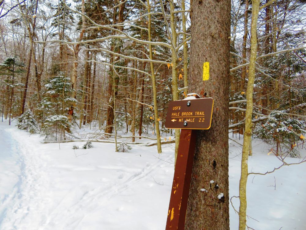
The hike starts here after a 2.5 mile road walk
Scott crossing a solid snow bridge

More snow as we get further up the trail

Looking up through heavy snow covered trees

Lisa and Jill coming up through a wintry scene

Lots of snow

The summit is in view

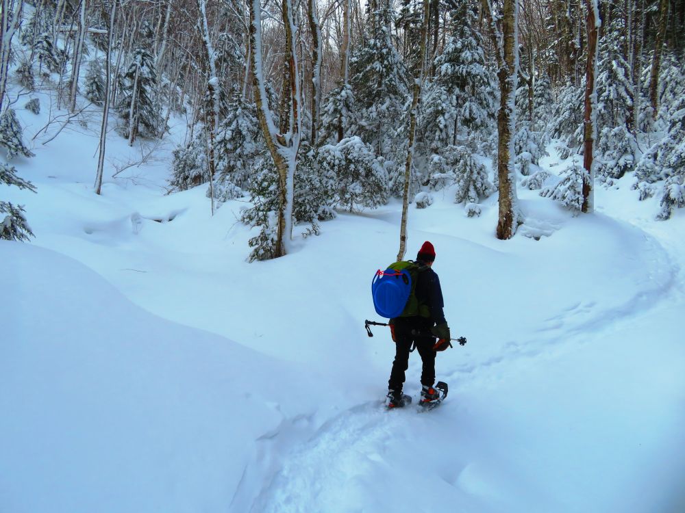
Starting the descent

Scott descending through snowy woods

More snowy woods

Jill enjoying a schuss down the trail on her butt sled

We were dodging many snowmobiles where they were not supposed to be riding

Arriving back at the end of Zealand Road after 9.4 miles
Having Fun in the Great Outdoors!
No comments:
Post a Comment