The forecast had today looking better than yesterday with the exception of possible morning showers in the mountains. I would be hiking three of the Carters today. My usual route is a loop starting and ending at 19 Mile Brook trailhead and today would be no different. I would be starting with a road walk to Camp Dodge taking the shortcut trail to Imp Trail up to North Carter Trail and across the Carter-Moriah Trail to Middle Carter (4,610') over to South Carter (4,430') and then depending if there were views up to Mount Hight and Carter Dome (4,832') then down to the Nineteen Mile Brook Trail and back to the trailhead parking area for a 13+ mile loop.
I started my hike just before 6:00 AM. There was a view of Mount Madison as I was walking along Route 16 and it looked like the clouds might be lifting. There was no one stirring when I passed through Camp Dodge. I was soon on the Imp Trail. The air was still and humid. I was hoping for a breeze to help with the sweat factor. As I got higher the wind was blowing through the tops of the trees but not down on the trail.
Once I started up the North Carter Trail the sky started to get dark and I felt the first rain drops. I was expecting a downpour so I put my raincoat at the top of my pack and put the waterproof pack cover on just in case. The air was getting cooler and I was starting to feel the breeze. When I got to the Carter-Moriah Trail junction there was a good wind blowing. I put on a long sleeve thin layer.
Just before I got to the Middle Carter summit I looked back and the clouds were whipping across the trail where I had just been. It was a very cool breeze and I kept moving. When I got to my first summit of the day there was a good view to the east from the outlook. On my way to South Carter I could see that the clouds were very low over the Presidential summits. This helped me make my decision to not go to Mount Hight. This summit is not on the 4,000 footer list and without the normal views that are usually seen here on a good day I would be bypassing this one today.
I made a quick stop on South Carter and noticed that the summit stick marker is missing but the screws are still in the tree. The small cairn was still there and after a photo I was on my way. Down at Zeta Pass I took a short break and had a snack before going to my third and final summit. As I started up the Carter Dome Trail I could see that the Presidential summits were still in the clouds so I was satisfied with my decision to bypass Mount Hight.
On my hike up to Carter Dome I noticed there were nice new trail signs that replaced the old weather-beaten ones. Up on the summit the weather had not changed and the clouds still hung low over on the Presidentials. I stopped long enough for a photo then started my descent. Even though I've done this hike several times I always seem to forget how steep and relentless the drop is down to Carter Lake.
I stopped for a few photos along Carter Lake. One more short climb up to the Wildcat Ridge Trail junction and it was all downhill on the Nineteen Mile Brook Trail to the parking lot. When I stopped to get a photo at the Carter Dome Trail junction I heard a voice behind me. It was fellow hiker Cynthia and her dog Jake that I had met earlier in the day on the Carter-Moriah Trail. Jake was nervous around new people so they started out ahead of me. We ended up hiking the last mile out together and I found she had a wealth of hiking experience having completed the 48 4,000 footer grid several years ago.
Back at the parking lot the sun was shining and it was warm. While this might not have been a day for great views it was certainly a cooler day than yesterday. Having talked to a few hikers that had hiked on Saturday they said it was very hot and humid unlike today where there was a cool breeze for most of the hike. I've seen the views from these summits on previous hikes so I enjoyed the cooler hiking conditions today. It was a reminder of how close to the end of summer we are and that Fall will soon be here!
Enjoy the photos!
About to begin the road walk from here
Mount Madison from Route 16
Dodge Camp
Lots of mushrooms along the trail today
Indian pipe
My favorite section of the Imp Trail
Not my favorite section of the Imp Trail
Mossy top stump
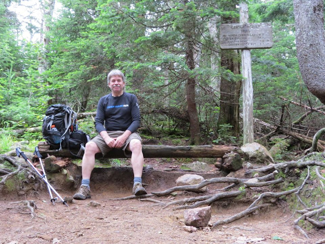
North Carter Trail junction
Very unusual mushroom
Bog bridges
Carter-Moriah Trail junction
A view to the southeast from the trail
Wind blows the clouds across where I just came from
Clouds are lifting a little
Presidential summits are in the clouds
On the summit of Middle Carter
A view from Middle Carter
Looking back to Middle Carter
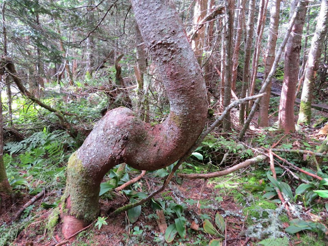
There was a crooked tree
Trail going up to South Carter
Mount Hight and Carter Dome up ahead
On the summit of South Carter
Summit stick gone but the screws are still there
Another shot of Middle Carter
More mushrooms
Nice new signs
High summits still in the clouds
Sneaking a peek below the cloud cover
Looking back at Mount Hight
Summit of Mount Hight
On the summit of Carter Dome
Wildcat A
Hikers on the Wildcat A outlook
Carter Notch Hut below
Wildcat A from Carter-Moriah Trail
Getting closer to Carter Notch Hut
Nice view from the Carter-Moriah Trail
A view from Carter Notch
A steep descent from the summit of Carter Dome
Carter Lake
Water lily in Carter Lake
A patch of asters by Carter Lake
Enjoying the cool breeze beside Carter Lake
The final 3.5 miles
Hobblebush berries
Down to the last 1.9 miles
More indian pipe
After 13+ miles the loop is complete
Having Fun in the Great Outdoors!


No comments:
Post a Comment