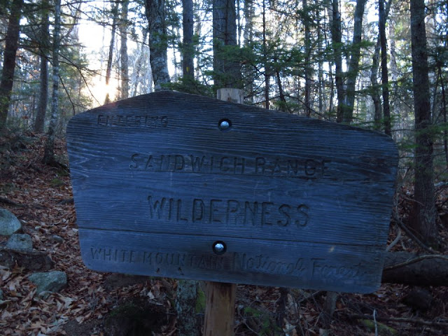
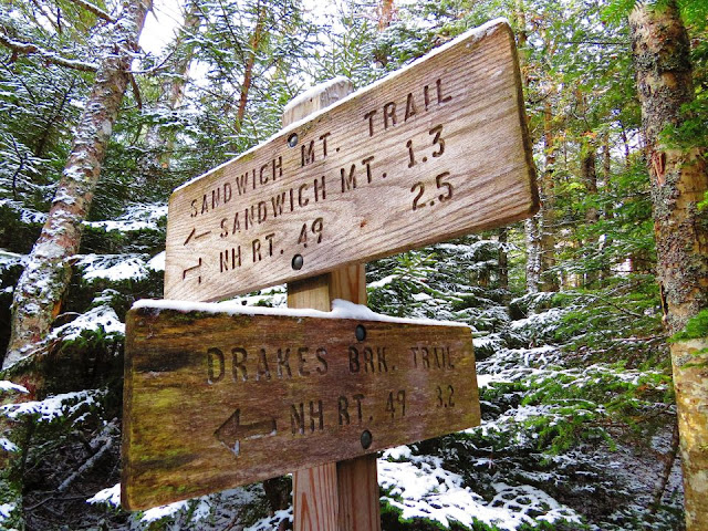
After two weeks of not hiking I was ready to get back on the trail. This past week I was fighting off a mild flu "bug" and was still feeling some lingering affects from that today. My plan was to hike up to Sandwich Mountain also known as Sandwich Dome (3,993') with a stop at Jennings Peak (2,976"). I would be going up the Sandwich Mountain Trail, take the spur path to Jennings Peak before summiting Sandwich Dome then return to the trailhead via the Drakes Brook Trail.
At the trailhead
Trail gets steep
Trail takes a sharp right
Another day of cold temps and wind made this a good day for a hike with minimally exposed areas. I drove through Franconia Notch just as the sun was hitting the snowy summits. A last minute decision had me driving across Tripoli Road instead of continuing on I93 and across Route 49. I've never been across Tripoli Road and wasn't sure if it was closed for the winter. The gate was open and I continued on.
Mount Washington from an outlook
Outlook
A quick break while enjoying the views
It was cool but not cold and there was no wind in the parking lot. I started out with two layers under a fleece outer layer. Was not cold enough for the new winter hiking boots I bought yesterday, Keen Summit County III. I'll have to break them in on another day. I went past the power station, crossed Drakes Brook and began my hike up the Sandwich Mountain Trail.
Jennings Peak
A slab of granite to get down over
Spur trail to Jennings Peak
Southern view from Jennings Peak
View to the east from Jennings Peak
Tripyramids
Smarts Brook Trail junction
Algonquin Trail junction
On the summit of Sandwich Mountain (Dome)
Summit
Mount Washington from Sandwich Dome
A view to the south
Looking down on Jennings Peak
Summit pin
Once again I had timed my hike just right in order to have the summit to myself. As soon as I started my descent I started to meet hikers on their way up. At 1.2 miles I stopped long enough at the trail junction to delayer before turning to go down the Drakes Brook Trail. It was here that a very upset barking dog came running up to me, it's hiker soon caught up and said she was dogsitting for someone. Apparently this was as far as she planned on going today. They both turned around and went back down the same way they came up. I never did pass them on the way down.
Waterville Valley ski trails
Waterfalls along Drakes Brook
It was almost another half mile back to the parking lot on a logging road. I reached the gate and could see the parking lot was now very full. I changed my clothes and relaxed for a moment while eating a snack before driving home. This would be the third time this Fall hiking in snow or ice. While I didn't use any traction it was good to know my microspikes were in the backpack just in case.
A very muddy and wet section of trail
Crossing Drakes Brook
I will now be able to add this summit to my completed list of the New England Hundred Highest. It is also the tallest summit on the New Hampshire 52 with a View list at 3,993'. Only seven more feet and it would have been on the 4,000 footer list. Today's hike was enjoyable and exactly what I was looking for as far as staying off of any exposed terrain and out of the wind. Winter is not officially here but while it may be Fall weather in the parking lot early winter conditions have settled in on the high summits.
Having Fun in the Great Outdoors!


No comments:
Post a Comment