

Summits: Mount Garfield (4,500')
Trail route: Gale River Loop Road, Garfield Trail, Garfield Ridge Trail
Trail conditions: Trail was broke out but had several inches of loose unconsolidated snow
Weather: Frigid start at -7°F and 10°F finish with a high cloud cover
Total miles: 12.4 RT
Total time: 7:00
With recent snowfall and another snowstorm on the way tonight there was a window of opportunity today for a hike without precipitation falling. There was however frigid temperatures in the forecast. I would be joining Scott and Lisa for a hike to Mount Garfield.
The gate at Gale River Loop Road is closed in the winter so it is a 1.2 mile walk to the trailhead. There is adequate plowed out parking just before the gate. When I arrived Scott and Lisa were already there along with several other cars. That told me that other hikers were ahead of us and that the trail would be broke out.
The temperature was -7°F when we started our hike but there was no wind and it was quite tolerable. We barebooted to the trailhead where we then put on microspikes and they stayed on for the rest of the hike. The snowshoes got a free ride. There was a thin snow cover to start but several inches of loose unconsolidated snow as we got further up the trail. The water crossings were frozen over but it required carefully watching our step.
We reached the trail junction and continued up the final two tenths of a mile to the summit. There was some ice under the steeper sections of this trail but the microspikes were adequate. We arrived at the summit to a steady, cold wind blowing. Getting inside the concrete foundation blocked some of the wind, but not much. It was not a day for lingering on the summit and after a few photos we began our descent. It was a good trip back down. We managed to get back over the water crossings without incident.
It was nice to be out on the trail again with Scott and Lisa! I considered the loose unconsolidated snow to be more of an issue than the cold temperatures today. I could blame this from not having done much hiking this month and being somewhat out of shape. It was my first 4,000 footer for this January and there is only one more weekend remaining before we're into February hiking.
Trail conditions are sure to be changing after the storm tonight!
Enjoy the photos and video!

The road walk to the trailhead starts here

Gale River

Arriving at the trailhead

Arriving at the first water crossing

Carefully crossing questionable ice

Water running beneath ice and snow

Scott goes upstream to find a safe water crossing

Ice formations on ice

Ice formations in a brook

A nice section of trail

Wet section of trail

Trees had a heavy coating of snow on them from a recent storm

A steep two tenths of a mile to the summit

The summit is in sight

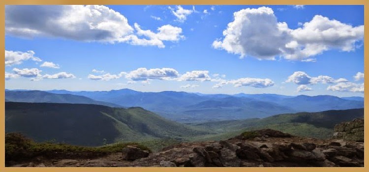
A view into the Pemigewasset Wilderness from the summit of Mount Garfield

A view toward Franconia Ridge

A view toward Vermont
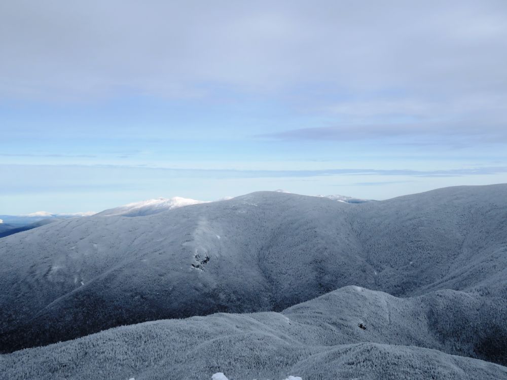
A view over North Twin to the Presidential summits in the distance

Zooming in to Mount Jefferson

Starting the descent from the summit


Back at the water crossings

Water crossing on sketchy ice

Back at the trailhead

Crossing the first of four bridges over the Gale River on the road walk back

Back at the parking area after a cold 12.4 miles
Having Fun in the Great Outdoors!
No comments:
Post a Comment