


Summits: South Carter (4,430'), Middle Carter (4,610')
Trail route: Nineteen Mile Brook Trail, Carter Dome Trail, Carter-Moriah Trail, North Carter Trail, Imp Trail, Herd Path to Dodge Camp, Road walk back to parking lot
Trail conditions: Well packed Nineteen Mile Brook Trail then loose, soft snow from the Carter Dome Trail onward
Weather: Cold temps, high overcast sky
Total miles: 10.8
Total time: 7:30
There was a window of opportunity today for hiking before a major snowstorm moved in. I would be joining Amy, Jill and Jim for a hike to South and Middle Carters. Amy needed these summits for her Winter 4,000 footer list and I needed them for January. There were cold temps in the forecast with light snow starting in the afternoon and heavy snow in the late evening. We planned on doing an out and back having seen one trail report that indicated the trails were broke out to Middle Carter but were not sure beyond this summit.
We met at Nineteen Mile Brook Trail parking area that happened to be plowed out. There are many trailhead parking areas that are not plowed out due to the government shutdown. We were on the trail at 7:30 and starting out with microspikes. The Nineteen Mile Brook Trail was nicely packed out and firm. It was a different story as we hiked up the Carter Dome Trail. The further up we got the softer the trail became.
When we arrived at Zeta Pass we swapped the microspikes for snowshoes. This made the hiking much easier as we continued onto the Carter-Moriah Trail. We reached South Carter and took a short break. It was then on to Middle Carter. There were some spectacular views along the way. We met Jim J before reaching Middle Carter and he informed us that North Carter Trail was broke out. That was good news and we would continue on to do a loop hike instead of our planned out and back.
There is no marker on Middle Carter but having been there before we knew where the summit was. A few pics and we continued on to the North Carter Trail. We reached the trail junction and several hikers were coming up so we knew it would be well broken out. After a short break we started our descent, it would be all downhill from here.
On the way down the trail I got hung up in frozen spruce branches across the trail that caused me to get tangled up in my snowshoes and down I went. It was a soft landing and after getting untangled I got myself back up. In the meantime my hiking companions managed to get photos of me flat out in the snow then asked if I was OK. It's the same procedure I would have followed. Never pass up an opportunity for a good photo!
There was a light snow falling down as we turned onto the Imp Trail. The south direction of the Imp Trail was broken out and the north direction was not. We were thankful for the broke out trail and it was an easy descent all the way down and out the herd path to Dodge Camp. Back at Route 16 we took off our snowshoes and did the road walk up to the parking lot where we started. There was a steady snow falling by this time.
Although it was a cold day there was no wind and made the temperature tolerable ranging from a low of 10°F to to a high of 18°F. It was great to get out today with the current conditions and a lot of fun to be on the trail again with Jill, Amy, and Jim. With the incoming snowstorm trail conditions are going to change considerably with one to two feet snow depths in the forecast. Upcoming hikes are going to be challenging!
Enjoy the photos and videos!

The hike starts here

Nineteen Mile Brook

This bridge sure makes the water crossing easy

Amy passes under a blowdown

Nineteen Mile Brook

Jim gets through this blowdown

Arriving at the Carter Dome Trail junction

There's a waterfall behind that ice

Easy under blowdown

Easy water crossing

On the Carter Dome Trail

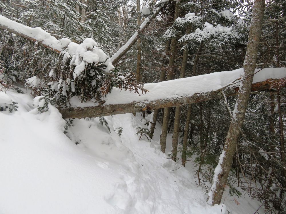
Lots of blowdowns on the trails today
Another blowdown on the Carter Dome Trail

Arriving at Zeta Pass

Heading to South Carter from Zeta Pass

Passing through a stand of spruce trees

Amy coming 'round a bend in the trail

Another blowdown

Jill and Amy just below the South Carter summit

View from South Carter

Group pic on South Carter

Jim hikes into snowy woods

Middle Carter in the distance

Jill and Amy coming down a slippery slope with loose snow

Amy has her own technique for coming down slippery slopes

Going up

Jim stops on a clearing

Sun shining through a high thin cloud cover

Jill waits for Amy to slide down

Pausing to enjoy the views

A look back from where we've been

A look ahead to where we're going

A view from South Carter

On the summit of Middle Carter

Presidential summits

On our way to the North Carter Trail

Jill and Amy stop to pose with the sun

Another look back

Crossing an open area

North Carter

North Carter Trail junction

Descending North Carter Trail


Arriving at the Imp Trail

Descending the Imp Trail

Passing through a deserted Dodge Camp

Frozen Cowboy Brook

The hiking loop is complete after 10.8 miles
Having Fun in the Great Outdoors!
No comments:
Post a Comment