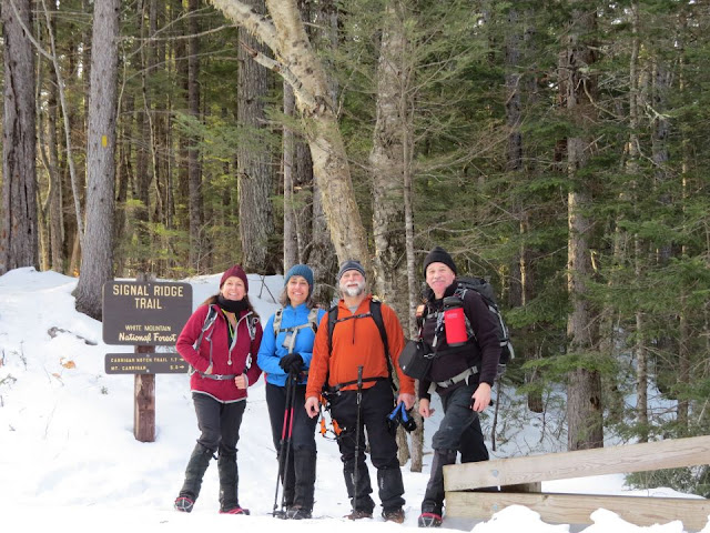
Seasonal temps and fair skies were in the forecast for today, a great day for a long hike. Mount Carrigain (4,700') would be today's hike and I was joining fellow hikers Jim, Amy and Jill. This is a 10 mile long hike but longer in winter due to the 2 mile road walk to the the trailhead in winter. So today would be a 14 mile hike.
We all gathered at the trailhead around 8:00 am or shortly thereafter. Jim and Amy had a long drive. The parking lot was coated in ice with a little dirt thrown over it. Microspikes were necessary as soon as stepping out of the car. As we geared up the decision was made not to take the snowshoes although Jim decided to carry his.
We set out on a short herd path to Sawyer River Road. It was a nice, crisp morning and the road was very hard packed with snowmobile tracks. Two miles later we were at the trailhead. It was a nice hike along the Whiteface Brook. The old trail was well-broken out and there was only one set of snowshoe prints on the rerouted trail. We followed the old trail. Water crossings were very easy today.
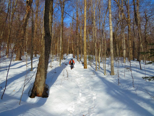
The trail started its climb to Signal Ridge. There was some old frozen postholes along the way but the trail was very solid. High up in the trees there was a breeze blowing and we were expecting an icy blast when we got up to the exposed Signal Ridge. We were pleasantly surprised when we reached the ridge, there was barely a breeze although it was getting cooler.
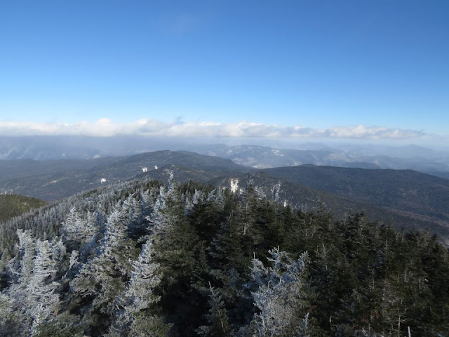
We moved on for the final push to the top. Once on the summit we found some wind. While it was tolerable below the tower the climb up to the platform had us facing into some biting cold wind. A few photos, a video and I was on my way back down. Not a day for lingering and eating lunch on the tower. My thermometer had a summit temp of 8°F.
We started our descent from the summit. We had met two hikers on the way up and one more came up behind us at the summit while we were there. Many more hikers were making their ascent as we were on our way down. Jim was setting a good pace for us. The cold temperature kept the trail firm and the sun through the trees felt good.
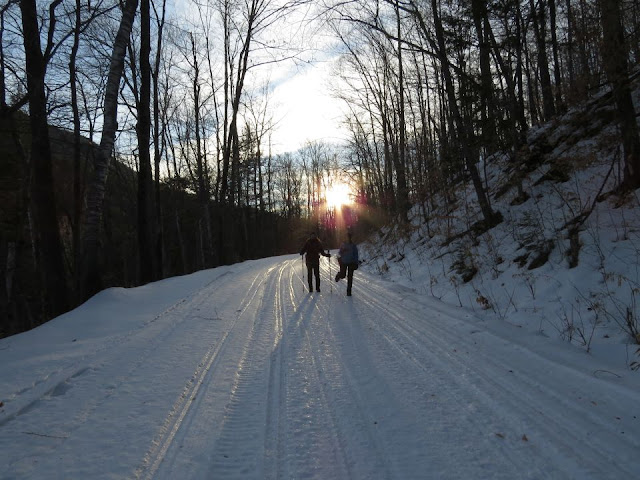
Back at the trailhead we took a short break. We had done twelve miles and had two more to go on the road walk back to the parking lot. The sun was quickly dropping as well as the temperature. The good part about Sawyer River Road is that it continues to gradually descend back to Route 302, no more up for the day.
When we reached the parking lot our 14 mile hike was complete. We used microspikes, Jim wore his Hillsound Trail crampons, up and back. Both types of traction were perfect for the trail conditions.
I can now add Mount Carrigain to my winter 48 4,000 footers. I have done this hike solo and it can seem like a very long hike. It was great to be able to hike this summit with some awesome hikers!
Enjoy the photos from this hike!
Herd path from the parking lot to Sawyer River Road
Morning sun peeking through the trees
Sawyer River Road
Arriving at the trailhead after 2 miles
Whiteface Brook
Jim navigating the water crossing
Jill and Amy easily crossing the water
Jim is "Feeling Just Fine"
Jim has a good pace going
First view from the trail
Crossing the exposed Signal Ridge
The summit observation tower
Standing on Signal Ridge
View of Vose Spur and Mount Lowell from Signal Ridge
Arriving at the summit
Jim descends the tower stairs
Desolation Trail below
South view
Signal Ridge from the tower
Jim posing in his Patriots hat
Jill coming down off the tower
An unbroken Desolation Trail
Amy and Jill crossing more water
Back at the trailhead after 12 miles
We're ready for the last two miles
An opening in Whiteface Brook
Amy and Jill on Sawyer Road in the fading sun
The end of Sawyer Road is just ahead to complete our 14 mile hike
Having Fun in the Great Outdoors!


No comments:
Post a Comment