

The weather forecast was calling for colder temps, wind and snow showers. I was looking for a 4,000 foot hike that I had not done in December but had already completed for my winter 48 4,000 footers. The Tripyramids fit that criteria. This hike would take me up the Pine Bend Brook Trail to North Tripramid (4,180) and over to Middle Tripyramid (4,140).
As I drove along the Kancamagus Highway the ground was bare to start then spotty snow and when I reached the trailhead there was an inch of snow. There were already a couple of cars parked along the road. That meant there would be some footprints ahead of me. I put on my pack and was on my way.
I started out with no traction and had no problem. There were numerous minor water crossings and a few muddy spots. As the trail began its upward climb I found it necessary to put on my microspikes. The entire hike could possibly have been done with bareboots but I liked the added safety factor as I was hiking solo. I also replaced my fleece with my waterproof shell as it was snowing and I was getting wet. I was now ready for the steep portion of the trail.
The snow depth increased a little as I made my way up the trail. I reached the summit of North Tripyramid and met my first hiker of the day and his dog. He had come up the Sabbaday Brook Trail and was making the loop down the Pine Bend Brook Trail. I changed out of my damp layers and put on dry ones. The cloud cover was low so I did not even go to the outlook. I continued on to the next summit.
It was a nice hike over to Middle Tripyramid. The clouds were holding on and it was difficult trying to get a view. I did manage to barely see Waterville Valley to the west and Mount Passaconaway to the east. I got a few photos and then began my return trip.
When I got back to North Tripyramid I took the short side path down to the outlook, the first tracks of the day. It was a futile attempt at some views, there were none. I had something to eat and then began the descent on the Pine Bend Brook Trail. Unable to get my usual panoramic video I decided to get a short video of my descent from the summit. It was a bit tricky as the trail is steep and it was somewhat slippery. I managed to get my video without mishap. It was an enjoyable hike back down to the trailhead.
Today was all about the hike as there were no stunning views to enjoy but I've already seen the views from these summits on previous hikes. The weather actually turned out to be better than what I expected. It wasn't as cold or windy as I had seen in the forecast. Although it is not official the winter hiking has already begun. Hopefully we get the snow this winter that we did not get last winter!
Enjoy the photos!

Trailhead

Lots of water crossings along this trail but all manageable

Mud crossing

Pine Bend Brook

And another water crossing

I always take a photo of my favorite burl


Water crossing

...and yet another water crossing

Log crossing

Balancing on the log walk


Another water crossing...

...and another

...and another

...and another

...and another

...and another


A snowy Pine Bend Brook Trail

Snow-capped mushroom

One last water crossing

Scaur Ridge Trail junction


Unbroken trail to the north slide

North Tripyramid summit

Sabbaday Brook Trail junction

Limited view from Middle Tripyramid

A view of Waterville Valley

Zooming in to Waterville Valley through a veil of snow and clouds

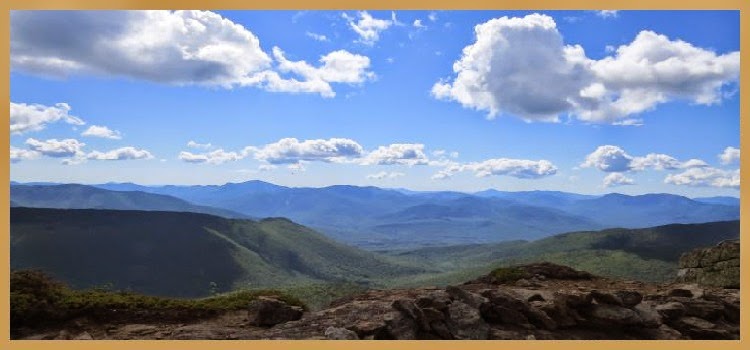
Ridgeline in the distance from Mount Whiteface to Mount Passaconaway

Mount Passaconaway through the cloud cover

On the summit of Middle Tripyramid

My turn around point


Descending the Pine Bend Brook Trail

Me and my burl
Having Fun in the Great Outdoors!
Just started getting your email blog notifications! Enjoy reading your blog, but I still feel you might find yourself in a bind if you fell and broke something. I've got a lot of back blogs to catch up on! Thanks for sharing!
ReplyDelete